Integrated Survey Solutions for Land & Marine Projects
Delivering integrated engineering survey solutions through Topographic Survey, Hydrographic Survey, UAV LiDAR, 3D Laser Scanning, and Dimensional Control for infrastructure, marine, industrial, and energy projects across Indonesia.




About Us
Samasta Survey Indonesia is an engineering survey company delivering integrated geospatial solutions for land and marine projects. By combining experienced professionals, advanced survey technologies, and industry best practices, we provide reliable data that supports confident engineering decisions.
Our expertise spans Topographic Survey, Hydrographic Survey, UAV LiDAR, 3D Laser Scanning, and Dimensional Control, serving infrastructure, marine, industrial, and energy sectors across Indonesia.
How We Work
Technical Planning
Data Acquisition
Processing & Analysis
Reporting
Survey Services
Integrated survey services for infrastructure, environment, marine, and spatial studies.
Land Survey
Detailed topographic surface measurement, horizontal & vertical control network, and dimensional control survey.
Learn More →Hydrographic & Marine Survey
Single & multibeam bathymetry, seabed mapping, side scan sonar, and coastal engineering survey.
Learn More →UAV Survey
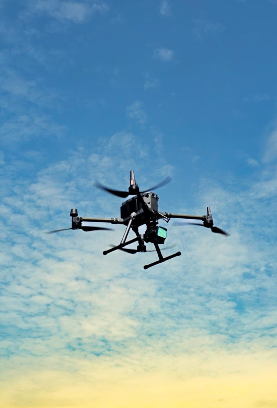
Aerial photogrammetry, high-resolution orthophoto, DSM/DTM, and UAV LiDAR point cloud mapping.
Learn More →3D Laser Scanning
High-precision terrestrial 3D laser scanning for industrial plants, heritage, and structural inspection.
Learn More →